Walk in Alcudia: The Albufereta
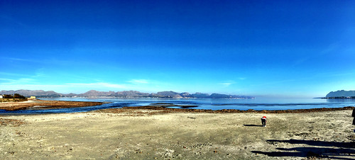
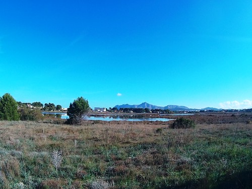
Alcudia has some fantastic walks, and this walk is a great opportunity to discover the wetlands of S’Albufereta, a coastal wetland area formed by flooding. We hope you enjoy it.
A walk to the Albufereta in Alcudia – USEFUL INFORMATION:
Duration of the walk? The walk takes about 1,5 hours walking at a normal pace and stopping to take photos.
Length of the walk? The walk is 3km long, and it is a flat walk, suitable for all ages and also with kids.
Where does the walk start? The walk starts at Posada del Verano bus stop (see below map). The Albufereta can be accessed via public bus line from the Port of Pollença or Alcúdia, or by bicycle or private car.
What time of the year? You can do the walk at any time of the year. If you do it in summer, combine it with a swim at the beach by the Albufereta.
What to bring? Bring water, binoculars, photo camera, and in summer a towel and swim things.
A walk in Alcudia: Albufereta – MAP:
Below you can see the route of the walk created with Google Maps.
A walk in Alcudia: Albufereta- THE ROUTE:
The Albufereta covers a total of some 501 ha, consisting of marsh, reedbeds, lakes, coastal ecosystems, riverside woodland, tamarisks, agricultural and pasture land, being most of the lands private properties.
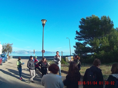
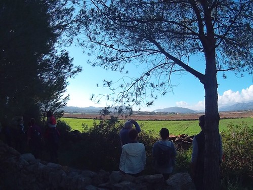
The photos and part of the information belonging to this walk are thanks to a guided visit we did in December 2016 with Matias and María, staff from the Albufereta, who showed us around this beautiful area.
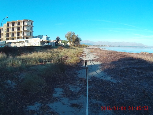
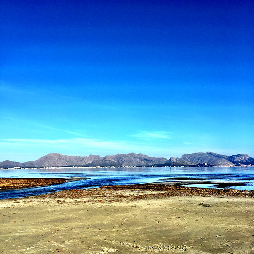
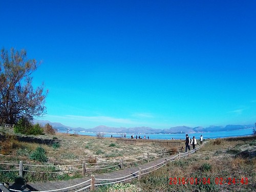
We will start at the bus stop situated by the building Posada de Verano, which was a hostel a long time ago. Near kilometre marker 65.800 on the MA-2220 you will see where to access the beach. As you enter, note the greyish colour of the sand.
Here you can notice an enclosed area with ropes, this is in order to protect the dunes, to avoid the erosion of the sea and to allow vegetation to grow. This helps to protect the beach, and to allow animals to live there helping the micro ecosytem on the beach.
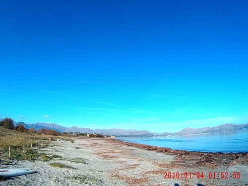
Continue walking along the shore and notice there is hardly no vegetation, all apart from some remains of Posidonia, the seaweed. The Posidonia is an endemic plant (exclusive of the Mediterranean), and extremely important here. After storms the sand will be covered in the seagrass species called Posidonia Oceanica, popularly known as “alga” or “seaweed”. It is a marine plant with stem, roots and leaves that can grow to be up to 50 centimetres long.
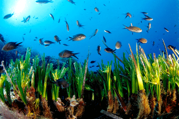
The posidonia is acting as a “sand factory”:
- The posidonia shields the sand from the constant beating of the waves; the reserve regulations control its removal in order to protect the beach. The posidonia is not removed during winter and so heavy machinery is avoided.
- The plant in the sea is a refugee for many small organisms such as fish, sea stars, sea urchins… (in fact take one and examine carefully the plant, and you will see some white spots), and many stuck by the plant. Their shells are transported then by the plant to the seaside.
Another curious thing to observe: When the posidonia mixes with sand it leaves those characteristic, fibrous balls on the beach.

The posidonia has traditionally been used to fertilise fields. This use was particularly important before chemical fertilisers were used when posidonia — together with ant nests, manure and crop rotation — was the only way of improving soil on the fields. Today we know that results are actually not optimal, since nutrients in the posidonia only slowly incorporate themselves into the soil and lead to a certain degree of salinity.
Not far from the last houses in Sa Marina you will see the Pont des Grau bridge. Where S’Albufereta opens up into the sea you are presented with a wonderful view of the landscape. When the torrent is at its largest you have to use the bridge to get across. The wetlands at this point consist of five metres of mud, so the 40-metre-long bridge had to be anchored on cement pillars.
The building of the Pont des Grau bridge, stretching across the mouth of the Sant Jordi Torrent more to the north completed the coastal road project between the Port of Pollensa and Alcudia. This was an historical event for those living in the area who no longer had to go all the way around the wetlands. The project began during the Civil War, and was also considered of strategic interest. The road was built by republican prisoners but was not finished, bridge included, until the conflict ended. By this point it was already recognised that it would be important to tourism.
 Our explorer found: From here you can see a coastline machine-gun nest constructed as a line of defence on the Mallorcan coast during the Second World War. They were meant to defend against a possible allied landing, something that never occurred.
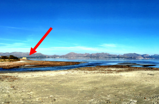
At this point, by the bridge, please look around and enjoy the views:
- To the very south on the horizon the bay is closed by the Alcudia peninsula, where you can see the coastal residential areas Corral d’en Benàsser and Es Barcarès, the outline of Alcudia and the Victoria watchtower, which together with the Penya des Migdia form the highest points.
- To the north you have the Port of Pollensa and the point L’Avançada with the Formentor peninsula as backdrop.
- To the west you can admire the nearest peaks of the Tramuntana Mountain Range: the Puig de Maria, Puig Gros de Ternelles, Cuculla de Fartàritx and the hills Ca de Miner, Tomir, Massanella…

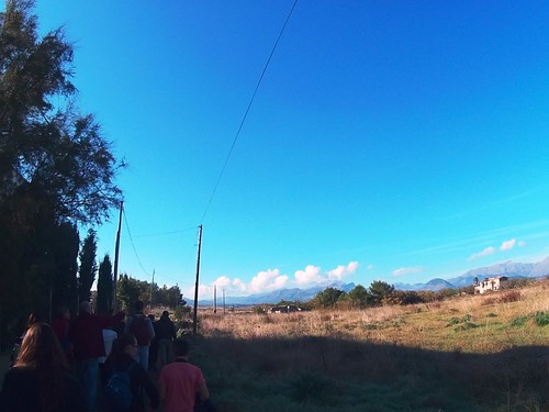
Now we will leave the beach, crossing to the other side of the main road, and we will go to the right in front of a row of houses and then curve to the left. Pass the last new house on the left and soon you will cross a narrow channel.
Fan-tailed Warbler, migrant Bluethroats and Green Sandpiper can be seen here, and you should also check the open areas for pipits and wheatears. A track to the right leads to a farm building and barking dogs; bear to the left and go past a small stone construction on your right.
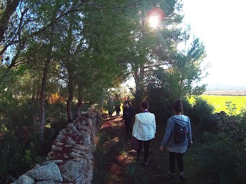
On reaching a small pine wood look for a discreet path leading through the pines and follow this between two stone walls. Out of the woods the path ascends to a mound, which offers good views of the surrounding wetlands and fields and is the best single birding spot on this itinerary.
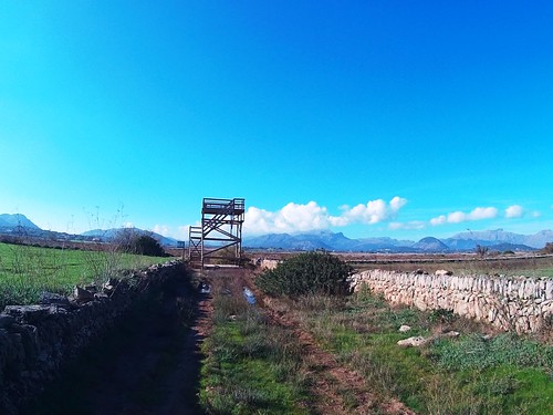
Spend some time scanning from here: the saline lake may hold Greater Flamingo, Black-winged Stilt, and gulls among others; while birds of prey could include Marsh Harrier, Osprey and Eleonora’s Falcon from late spring onwards. Pleasant surprises often turn up too and then may occur as Collared Pratincole, Squacco Heron, Red-rumped Swallow, etc.
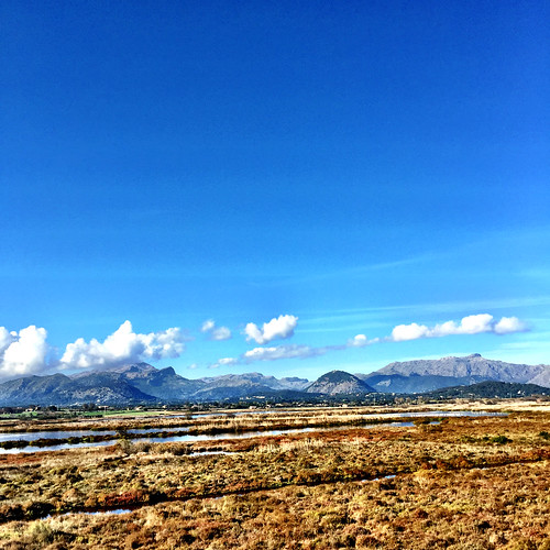
Then, we will retrace back, and we will go to the right following a dry stone wall parallel to a pine tree. Here we can observe the change of the vegetation, and also note that a million years ago this was a stream; look at the path and you will notice some interesting details with the stones.
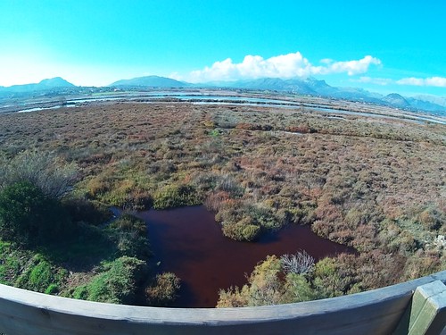
S ’Albufereta abounds with plants that are typical of wetland areas with heavy saltwater influence, given the proximity to the sea. Thus, glasswort prairies and tamarisk groves are prevalent amid the reserve’s lagoons, streams and canals. In fact, the tamarisk forest that lines the El Rec stream is one of the most noteworthy communities of its type in Mallorca. No less striking for their unique hydrogeological features are the varying surges of the saltwater springs known as Els Ulls del Rec, which emerge in the streambed itself.
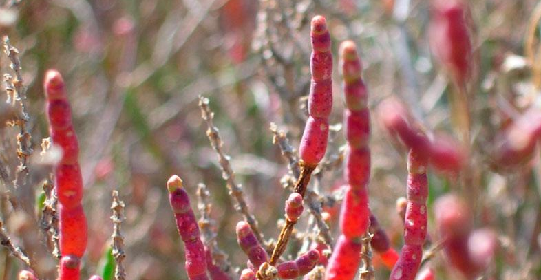
The presence of the endemic plant Limonium alcudianum, which only grows in the brackish waters of S’Albufereta and the neighbouring Albufera, as well as the only Balearic community of another type of statice, the Limonium algarvense, along with many other species, make this an exceptional site of botanical interest.
After 8 minutes we will get to another bridwatching platform from where we can enjoy great views and observe a few wetlands, mainly the Sa Barcassa lagoon.
After enjoying the views, we will walk back, and we will go to the right bordering the pinewood, and further on we will join again the path were we started the walk.
Interested in other tours or excursions in Alcudia?
If you want some more options about tours and excursions in Alcudia, we recommend you to visit our website:
or come to visit us at one of our offices: http://www.nofrills-excursions.com/about_us/where-to-find-us.en.html

